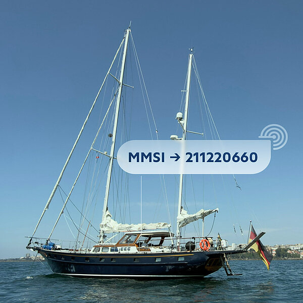
AIS was originally developed to improve safety at sea. Ships automatically transmit their position, course, speed, and other important vessel data at regular intervals via VHF radio. Other ships and coastal stations receive this information, which helps prevent collisions and better coordinate maritime traffic. Since the early 2000s, AIS has been standard equipment for commercial shipping and is now an indispensable part of modern maritime navigation.
What once served exclusively for safety purposes now also makes it possible to experience maritime adventures to some extent. Services such as VesselFinder or MarineTraffic collect the received AIS data and display it on maps. This makes it possible to track a ship’s location in near real time—whether it’s in port, at anchor, or out at sea.
So whether the Princess Sophie is currently on a transfer voyage, sailing guests through the Mediterranean, or anchored in a secluded bay, you can check her current position at any time and follow her journey to some extent.
You can easily access the live location via the MarineTraffic icon in the footer of our website. Of course, you can also search for our MMSI (211220660) directly on MarineTraffic or VesselFinder. Maybe you’ll spot the Princess Sophie off a Greek island, among Sicily’s volcanoes, or out in the open sea.
We hope you enjoy following along—and who knows: maybe it’ll get you even more excited for our next cruise together.
“Not all those who wander are lost.”
J. R. R. Tolkien